[Interactive Map][UC Santa Cruz statewide interactive map]

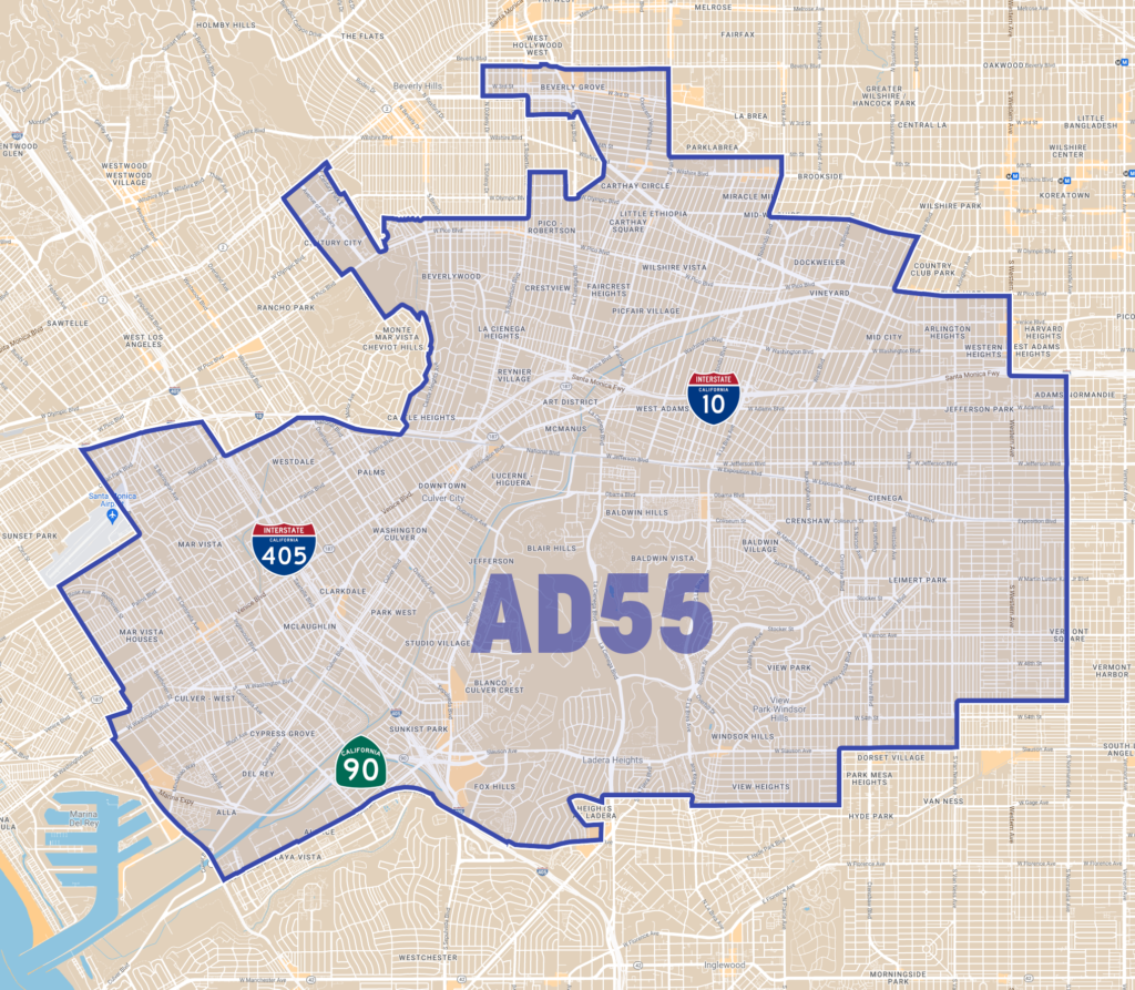
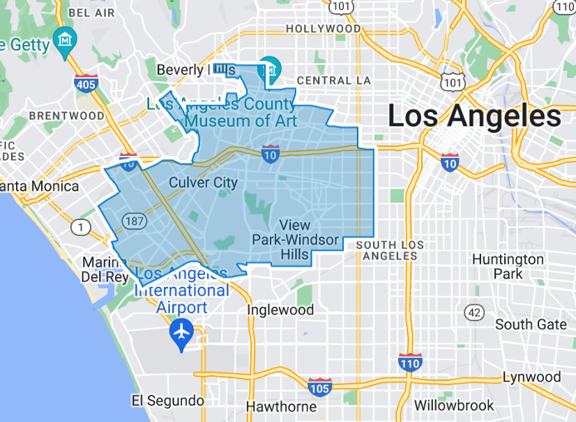
AD55 contains at least 76 neighborhoods. Did we miss any?
Adams-Normandie, Alsace, Angeles Mesa, Arlington Heights, Baldwin Hills, Baldwin Hills Estates, Baldwin Hills/Crenshaw, Baldwin Village, Baldwin Vista, Beverly Grove, Beverlywood, Blair Hills, Cameo Plaza, Carthay, Carthay Circle, Castle Heights, Century City, Chesterfield Square, Country Club Park, Crenshaw, Crenshaw Manor, Crestview, Culver City, Del Rey, Dockweiler, Faircrest Heights, Fox Hills, Fremont Place, Hyde Park, Jefferson Park, Kinney Heights, La Cienega Heights, LACMA, Ladera, Ladera Heights, Lafayette Square, Leimert Park, Little Belize, Little Ethiopia, Longwood Highlands, Lucerne-Higuera, Mar Vista, Marina del Rey, Mid-City, Mid-City Heights, Mid-City West, Mid-Wilshire, Miracle Mile, New Orleans Corridor, Oaxacatown, Olympic Park, Oxford Square, Palms, Picfair Village, Pico Park, Pico-Robertson, Playa del Rey, Playa Vista, Redondo-Sycamore, Reynier Village, South Carthay, South Robertson, Sugar Hill Historic District, Victoria Park, View Park–Windsor Hills, Village Green, Vineyard, Wellington Square, West Adams, West Adams Heights, West Fairfax, Westdale, Western Heights, Westside Village, Wilshire Highlands, Wilshire Vista, Windsor Village

